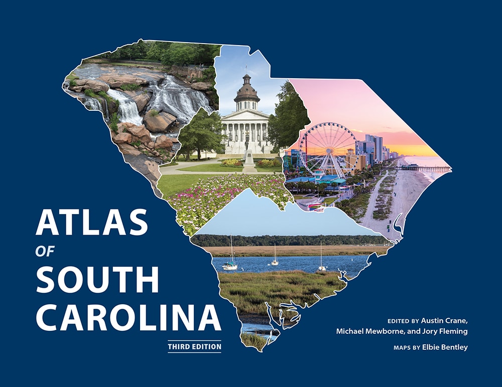
A rich visual illustration of South Carolina's physical, political, social, and cultural geography
What is the regional distribution of South Carolinians' preferred barbeque sauces? Where were colonial roads located, and how did they relate to the sites of Revolutionary War battles? Where were the key locales of protest during the civil rights movement? When is South Carolina's tornado season and where have tornadoes struck most frequently? Offering more than fifty full-color maps, the third edition of the Atlas of South Carolina provides answers to all these questions and more, illustrating the diverse physical, cultural, political, and historical landscapes of the Palmetto State. The Atlas of South Carolina helps readers of all ages better understand the state in which they live.
For bulk orders and discount pricing information, contact: Michael J. McGandy, director and interim marketing & sales director at mcgandy@mailbox.sc.edu or 803-777-2243.
Austin Crane holds a PhD in Geography at the University of Washington and is an instructor in the department of geography at the University of South Carolina. He is a broadly trained human geographer, with research interests including political geography, migration and borders, and poverty and inequality.
Michael Mewborne is the director of the South Carolina Geographic Alliance. He earned his Master of Arts in Teaching at the University of South Carolina and later taught World Geography and Advanced Placement Human Geography at Chapin High School in Chapin, South Carolina, and River Bluff High School in Lexington, South Carolina.
Jory Fleming is a climate scientist and educator. He is a Rhodes Scholar and Truman Scholar, holding an MPhil in environmental change and management from the University of Oxford (Worcester College), an MBA from the Quantic School of Business & Technology, and a BS in geography and marine science from the University of South Carolina.